


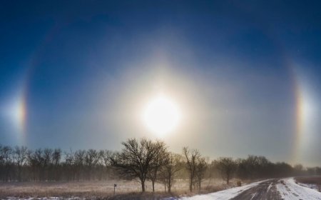


Arctic air, lake-effect snow and California flood risk mark new year forecast
The NWS warns Arctic cold will bring heavy lake-effect snow to the Great Lakes, snow squalls across the Midwest and Northeast, and possible flash flooding in Los Angeles and southern California as the New Year approaches.
THE National Weather Service (NWS) has warned of dangerous winter weather across large parts of the US, with heavy lake-effect snow in the Great Lakes, snow squalls in the Ohio Valley, and a flash flood threat in southern California as the country heads into the New Year.
Great Lakes: Lake Erie, Lake Ontario face 3 feet of snow
According to the NWS, Arctic air surging behind a powerful storm is keeping the lake-effect “snow machine” active downwind of the Great Lakes.
The heaviest snow is expected near Lake Erie and Lake Ontario, where 1–2 feet of additional snowfall is forecast, with locally more than 3 feet possible in persistent snow bands over the next two days.
Ohio Valley, Pennsylvania, western New York: Snow squalls likely
The arrival of an Alberta clipper will reinforce cold air and trigger snow showers and snow squalls from the Ohio Valley through Pennsylvania and western New York, especially late Wednesday into early New Year’s Day, the NWS said.
Snow showers will also spread into the upper Midwest, the Northern Plains, and interior New England.
New England: Widespread snowfall, Downeast Maine hit hardest
As the clipper strengthens over New England, the NWS forecasts widespread accumulating snowfall on New Year’s Day.
Snow will taper off last across West Virginia before shifting east.
Downeast Maine could see 8 inches or more of snow between New Year’s Day and Friday morning, according to the NWS, with blustery winds and falling wind chills across Maine, New Hampshire, Vermont, and Massachusetts heading into Friday.
Southeast: Freezing temperatures reach Florida
The NWS said freezing temperatures reached as far south as north-central Florida early Wednesday morning, before a gradual moderating trend begins later in the week.
Quiet and milder-than-normal conditions will prevail across the Intermountain West under a stable high-pressure ridge, the NWS said.
Meanwhile, warmer air across the Northern Plains will be pushed south into the central Plains as the Alberta clipper delivers another reinforcing surge of Arctic air into the upper Midwest and Great Lakes.
Southern California: Los Angeles faces flash flood risk
The NWS is closely monitoring a low-pressure system from the eastern Pacific that is spreading rain into southern California.
Heavy rain could impact coastal areas, including Los Angeles, early on New Year’s Day, raising the risk of flash flooding, the agency warned.
Rain will expand north across much of California, while higher elevations of the Great Basin, Four Corners, and the central and southern Rockies are expected to see accumulating snow.
Rockies and Intermountain Region: Snow continues into Friday
Although the storm is forecast to weaken after coming ashore on New Year’s Day, the NWS said its moisture shield will continue to bring high-elevation snow and lower-elevation rain from the Intermountain region into the northern and central Rockies through Friday morning.